Closest Beaches to Orlando: Cocoa Beach vs the Gulf Coast
Atlantic and Gulf beaches reachable from Orlando, compared by modeled road miles from named starting points, posted parking and entrance fees, and beach-safety flag rules.
Parking fees and beach rules change. Fees are as posted on the cited pages on Nov. 6, 2026. Road miles come from a free-flow routing model between the named points. They aren’t official distances or typical travel times.
Direct answer
From downtown Orlando, the Atlantic beaches compared here (Cocoa Beach, Playalinda in Canaveral National Seashore, and New Smyrna Beach) are about 54–60 road miles away. Clearwater Beach and St. Pete Beach on the Gulf are about 108–114. From EPCOT the difference is smaller: about 68–76 road miles to those Atlantic points and about 93–100 to the Gulf points. Check a live map for travel time.
Geographic scope
Starting points:
- Orlando City Hall (downtown, Orange County)
- EPCOT (a Walt Disney World reference point)
- MCO
Beaches covered:
- Atlantic: Cocoa Beach and Playalinda Beach (Brevard County), and New Smyrna Beach (Volusia County).
- Gulf: Clearwater Beach and St. Pete Beach (Pinellas County).
Not covered: Daytona, Tampa Bay’s bay beaches, and Gulf beaches south of Pinellas.
Modeled road miles
How we measured: We located each point with OpenStreetMap Nominatim and routed it with the public OSRM demo router on Nov. 6, 2026. The router used the car profile and the fastest route, under free-flow conditions: it doesn’t account for traffic, tolls, or parking time. The figures are modeled miles between the named points only. “Playalinda Beach” is the map’s point for that beach name, and “St. Pete Beach” is the center of the city, not a specific beach access.
| From → To | About this many road miles (OSRM model, Nov. 6, 2026) |
|---|---|
| Orlando City Hall (400 S. Orange Ave.) → Cocoa Beach City Hall | 59.6 |
| Orlando City Hall → Lori Wilson Park | 58.5 |
| Orlando City Hall → Flagler Ave., New Smyrna Beach | 57.1 |
| Orlando City Hall → Playalinda Beach | 54.0 |
| Orlando City Hall → Pier 60, Clearwater Beach | 107.9 |
| Orlando City Hall → St. Pete Beach (city center) | 114.4 |
| EPCOT (200 Epcot Center Dr.) → Cocoa Beach City Hall | 68.9 |
| EPCOT → Lori Wilson Park | 67.8 |
| EPCOT → Flagler Ave., New Smyrna Beach | 75.6 |
| EPCOT → Playalinda Beach | 74.9 |
| EPCOT → Pier 60, Clearwater Beach | 93.2 |
| EPCOT → St. Pete Beach (city center) | 99.6 |
| MCO (1 Jeff Fuqua Blvd.) → Lori Wilson Park | 51.9 |
| MCO → Cocoa Beach City Hall | 53.0 |
| MCO → Playalinda Beach | 59.0 |
| MCO → Flagler Ave., New Smyrna Beach | 66.5 |
Of the beach points tested from EPCOT, Lori Wilson Park (about 67.8) and Cocoa Beach City Hall (about 68.9) were the closest. That doesn’t rule out a closer beach or parking lot that wasn’t tested.
Atlantic side
Cocoa Beach
City parking (as posted Nov. 6, 2026):
- Spaces: More than 1,600 across parks, street ends, and a downtown garage (25 S. Orlando Ave., 7’2” clearance).
- Rates: $6 an hour (1-hour minimum) or $25 for a full day, plus a $0.35 app fee.
- Hours and payment: Enforced daily 7 a.m.–7 p.m., including weekends and holidays. Pay with the Passport Parking app.
- Other rules: No overnight parking. Cars with a valid disability placard park free in designated spaces.
- Beach-access parking: Listed at Alan Shepard Park, Sidney Fischer Park, and many A1A street ends.
(Cocoa Beach Parking, checked Nov. 6, 2026)
Lori Wilson Park (Brevard County), 1500 N. Atlantic Ave., Cocoa Beach:
- Free parking.
- Grounds: Maritime hammock, a 3,155-foot boardwalk, and six dune crossovers (four ADA-accessible).
- Facilities: Seasonal lifeguards, restrooms and showers, and an off-leash dog park.
- Launch View: Listed as an amenity.
(Lori Wilson Park, checked Nov. 6, 2026)
Canaveral National Seashore (Playalinda and Apollo beaches)
Fees (from the NPS fees page, last updated Jan. 1, 2026; checked Nov. 6, 2026):
- An entrance fee is required.
- Private vehicle: $25, valid for 7 consecutive days at all park entrances.
- Motorcycle: $20. Per person: $15. Park annual pass: $45.
- The Apollo and Playalinda entrance stations are cashless.
- America the Beautiful passes are accepted.
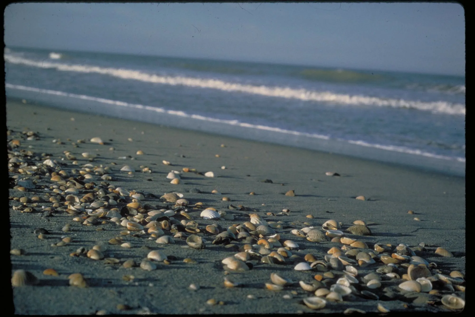
The seashore: NPS describes it as a barrier-island seashore with ocean, beach, dune, hammock, and lagoon habitats. Its North District is in Volusia County near New Smyrna Beach, and its South District, with Playalinda Beach, is in Brevard County near Titusville (NPGallery asset). The Apollo Beach district entrance is at 7611 S. Atlantic Ave., New Smyrna Beach.
New Smyrna Beach (Volusia County rules)
Volusia beach driving and parking (checked Nov. 6, 2026):
- On-beach driving for visitors: $30 a day or $150 a year (effective Oct. 1, 2024).
- County off-beach lots: $20 a day or $100 a year (effective Jan. 1, 2025).
- Residents: Free with registration.
- Driving rules: Drive only in designated areas, seaward of the conservation zone, with headlights on and a front window open.
- Municipal lots: ParkVolusia isn’t valid at some city lots in New Smyrna Beach, such as Flagler Avenue Oceanfront Park, 27th Street, and Esther Street. Contact the city for those.
- Smyrna Dunes Park: Requires a separate inlet pass ($10 a day).
(Volusia beach driving and parking)
Gulf side
Clearwater Beach
City beach parking (as posted Nov. 6, 2026):
- City lots: $3.50 an hour, generally 6 a.m.–11 p.m. For example, the Pier 60 lot (160 S. Gulfview Blvd.) has 141 spaces with no time limit during operating hours.
- Municipal Marina lot (25 Causeway Blvd.): $3.50 an hour, 2-hour limit.
- On-street parking: $4.00 an hour, 5-hour limit.
- Payment: ParkMobile, pay-by-plate, or text.
- Restrictions: No RV parking on the beach. No public parking north of the Acacia Roundabout.
St. Pete Beach
St. Pete Beach appears in the mileage table above. For parking and beach-access rules, check the City of St. Pete Beach or Pinellas County pages.
Tolls
SR 528 (Beachline Expressway) connects the Orlando and MCO area with “the east coast beaches and Cape Canaveral” (CFX SR 528, checked Nov. 6, 2026). CFX tolling is cashless. Use the CFX toll calculator for a route total (checked Nov. 6, 2026). The mileage model above doesn’t account for tolls on any route.
Beach safety and warning flags
Florida law sets up a program to encourage uniform warning and safety flags at public beaches. It says that unless other devices are authorized under subsection (6), “only warning and safety flags developed by the department shall be displayed.” Participation is open to any government with jurisdiction over a public coastal beach (s. 380.276, F.S., checked Nov. 6, 2026).
DEP’s Beach Warning Flag Program describes four flag colors, explained on interpretive signs. It says: “The beach flags provide general warnings about overall surf conditions and do not specifically advise the public of the presence of rip currents.” For rip-current guidance, DEP refers readers to the National Weather Service and the U.S. Lifesaving Association (DEP Beach Warning Flag Program, checked Nov. 6, 2026).
Volusia County posts its own flag meanings (Volusia beach warning flags, checked Nov. 6, 2026):
| Flag | Meaning |
|---|---|
| Double red | Water closed to the public |
| Red | High hazard (high surf and/or strong currents) |
| Yellow | Medium hazard |
| Green | Low hazard, calm conditions, exercise caution |
| Purple | Dangerous marine life |
The county also notes, “Absence of flags does not assure safe waters.” Other counties may post different signs.
The National Weather Service’s rip-current advice is to check the local beach forecast and talk to the lifeguard. It says, “Only swim at a beach with lifeguards,” and warns, “Rip currents often form on calm, sunny days” (NWS rip currents, checked Nov. 6, 2026).
Practical tips
- Find your actual starting point in the mileage table (downtown, EPCOT, or MCO), then check a live map for traffic.
- In Cocoa Beach, compare the city’s paid parking with free parking at Lori Wilson Park.
- At Canaveral National Seashore, plan for the cashless federal entrance fee, or bring a pass.
- On Volusia beaches, read the driving and parking rules before you plan to park on the sand.
- Read the flag sign at the beach. Flags don’t replace a lifeguard or a rip-current forecast.
FAQ
Which coast is closer to downtown Orlando? The Atlantic. In the routing model, the Atlantic points tested near Cocoa Beach, Playalinda, and New Smyrna Beach were about 54–60 road miles from Orlando City Hall. Pier 60 in Clearwater and St. Pete Beach were about 108–114 (OSRM free-flow model, Nov. 6, 2026).
What’s the closest beach to EPCOT? Of the beach points tested, Lori Wilson Park (about 67.8 road miles) and Cocoa Beach City Hall (about 68.9) were closest in the model. Other beaches weren’t tested.
Do beach warning flags tell you whether there are rip currents? No. DEP says its flags “do not specifically advise the public of the presence of rip currents” (DEP, checked Nov. 6, 2026).
Sources
- https://cityofcocoabeach.com/185/Parking-in-Cocoa-Beach — City of Cocoa Beach Parking — checked 2026-11-06
- https://www.brevardfl.gov/ParksAndRecreation/ParkDirectory/LoriWilsonPark — Lori Wilson Park — checked 2026-11-06
- https://www.nps.gov/cana/planyourvisit/fees.htm — NPS Canaveral NS Fees — checked 2026-11-06
- https://npgallery.nps.gov/AssetDetail/2bff8c52-a65c-4667-b003-0e8c12247abf — NPS NPGallery seashore description — checked 2026-11-06
- https://www.volusia.org/services/public-protection/beach-safety/beach-driving-and-parking.stml — Volusia beach driving and parking — checked 2026-11-06
- https://www.myclearwater.com/Visit-Clearwater-Beach/Beach-Parking — Clearwater Beach Parking — checked 2026-11-06
- https://www.cfxway.com/for-travelers/expressways/528/ — CFX SR 528 — checked 2026-11-06
- https://www.cfxway.com/for-travelers/tolls/toll-rates/ — CFX Toll Rates — checked 2026-11-06
- https://www.flsenate.gov/Laws/Statutes/2026/380.276 — s. 380.276, F.S. (2026) — checked 2026-11-06
- https://floridadep.gov/rcp/fcmp/content/beach-warning-flag-program — DEP Beach Warning Flag Program — checked 2026-11-06
- https://www.volusia.org/services/public-protection/beach-safety/beach-warning-flags.stml — Volusia beach warning flags — checked 2026-11-06
- https://www.weather.gov/safety/ripcurrent — NWS rip current safety — checked 2026-11-06
Sources
- https://cityofcocoabeach.com/185/Parking-in-Cocoa-Beach
- https://www.brevardfl.gov/ParksAndRecreation/ParkDirectory/LoriWilsonPark
- https://www.nps.gov/cana/planyourvisit/fees.htm
- https://npgallery.nps.gov/AssetDetail/2bff8c52-a65c-4667-b003-0e8c12247abf
- https://www.volusia.org/services/public-protection/beach-safety/beach-driving-and-parking.stml
- https://www.myclearwater.com/Visit-Clearwater-Beach/Beach-Parking
- https://www.cfxway.com/for-travelers/expressways/528/
- https://www.cfxway.com/for-travelers/tolls/toll-rates/
- https://www.flsenate.gov/Laws/Statutes/2026/380.276
- https://floridadep.gov/rcp/fcmp/content/beach-warning-flag-program
- https://www.volusia.org/services/public-protection/beach-safety/beach-warning-flags.stml
- https://www.weather.gov/safety/ripcurrent